
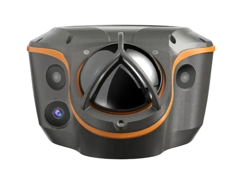
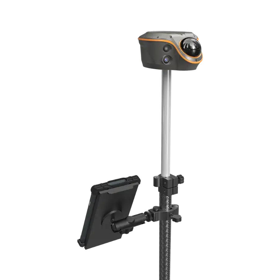
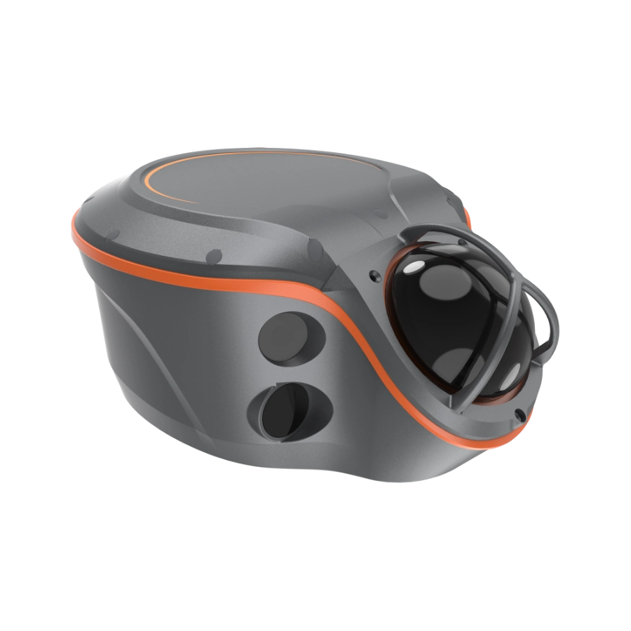
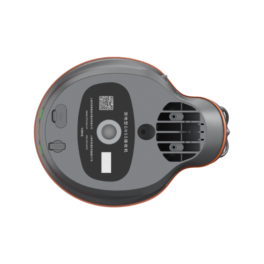
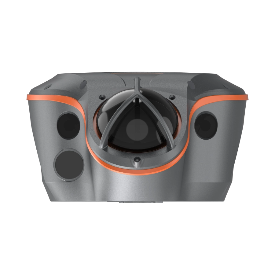
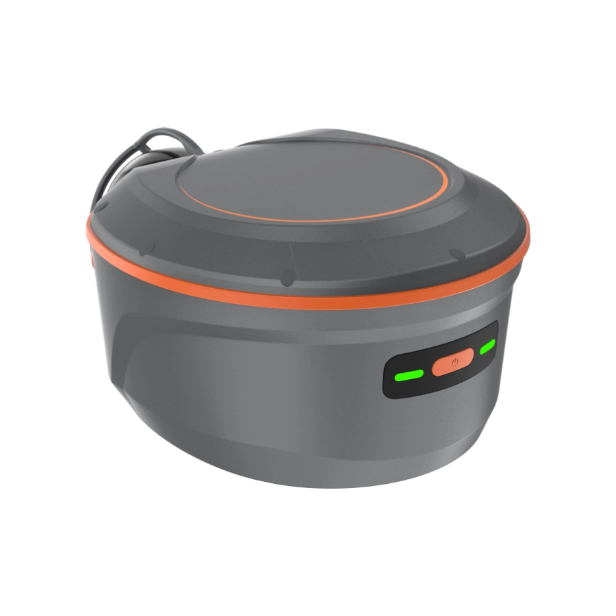
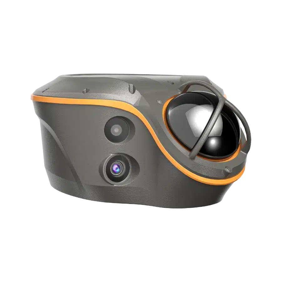
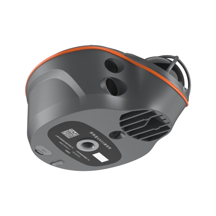


ViLi i100 เป็นเครื่องรับ GNSS RTK รุ่นเรือธงของ CHCNAV ออกแบบมาเพื่อประสิทธิภาพที่เชื่อถือได้ทั้งในสภาพแวดล้อมกลางแจ้งและในอาคาร มันรวมการกรองสัญญาณดาวเทียมที่ทันสมัย, เครื่องยนต์การระบุตำแหน่ง SFix 2.0 ที่พัฒนาแล้ว, และเทคโนโลยี Vi-LiDAR ที่รวมเข้าด้วยกันเพื่อให้ผลลัพธ์ที่แม่นยำในสถานที่ที่หน่วย GNSS มาตรฐานมักจะล้มเหลว
ผู้รับรักษา ความแม่นยำระดับเซนติเมตรในพื้นที่เปิด, และสูงสุด ความแม่นยำ 5 ซม. ในถนนในเมืองที่หนาแน่น, ป่าไม้, สถานที่ก่อสร้าง, หรือภายในอาคาร ใช้ SFix 2.0. Vi-LiDAR ในตัวช่วยให้การสแกนได้อย่างรวดเร็ว การสร้างพ้อยคลาวด์ 3D และการคำนวณงานดินด้วยความเชื่อถือได้ 99.98% ในขณะที่กล้องคู่สนับสนุนการจับพ้อยจากภาพถ่ายและการช่วยเหลือ AR ในการวางจุด.
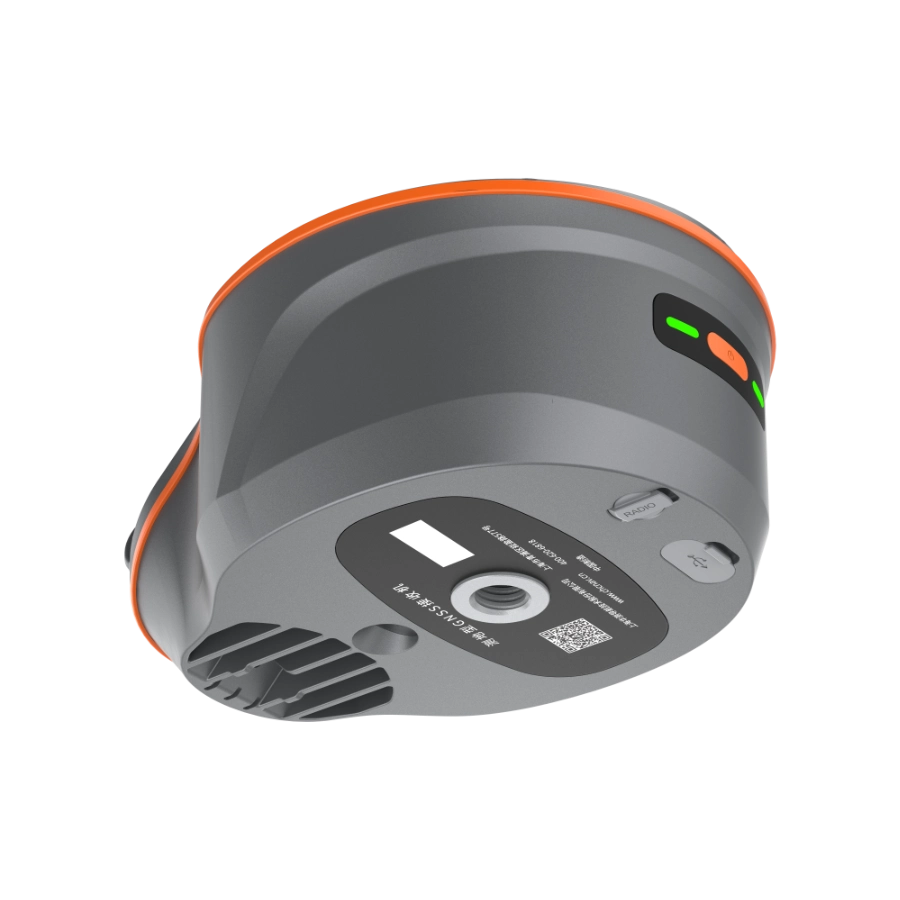
i100 รองรับ CORS, UHF, และ PPP workflows, พร้อมด้วย 4G, Wi-Fi และ NFC ที่รวมเข้าด้วยกันเพื่อการเชื่อมต่อที่ยืดหยุ่น การสร้างที่ทนทาน IP67/68It seems that there is no content provided for translation. Please provide the text you would like to have translated into Thai, and I will assist you with that. 2 เมตร ความต้านทานการตก, และ 11–24 ชั่วโมงของเวลาในการทำงาน มั่นใจว่ามันเหมาะสมกับสภาพสนามที่ต้องการในภาคการสำรวจ
 ความมั่นใจและความแม่นยำที่สอดคล้องกันในอุปสรรค |  ปรับปรุงI'm sorry, but it seems that the content you provided is incomplete. Please provide the full text that you would like to have translated into Thai, and I will be happy to assist you.Fix 2.0 เอนจิน |  การคำนวณงานดินพ้อยคลาวด์ 3D |  Vi-LiDAR การสำรวจแบบไม่สัมผัส | |||
| ความแม่นยำ 5 ซม. แม้ในสภาพแวดล้อม GNSS ที่ท้าทาย เมื่อถูกต้องแล้ว จะถูกต้องเสมอ | ความแม่นยำ 5 ซม. ภายใน 20 นาที ในพื้นที่ที่ไม่มี GNSS. | เพียงแค่สแกน กำหนดขอบเขต และรับผลลัพธ์ทันทีด้วยความแม่นยำ 99.98% | ถ่ายภาพเพียงครั้งเดียวและดึงจุดสำรวจเป็นชุด |
| ViLi i100 เป็นเครื่องรับ GNSS RTK รุ่นเรือธงของ CHCNAV ซึ่งรวมการกรองดาวเทียมที่ทันสมัย การกำหนดตำแหน่ง SFix 2.0 ที่ได้รับการปรับปรุง และเทคโนโลยี Vi-LiDAR ที่เป็นนวัตกรรมใหม่ มันให้ความแม่นยำระดับเซนติเมตรที่เชื่อถือได้แม้ในสภาพแวดล้อม GNSS ที่ท้าทาย ช่วยให้มืออาชีพสามารถขยายขอบเขตของการสำรวจ GNSS แบบดั้งเดิมได้ |  |
