
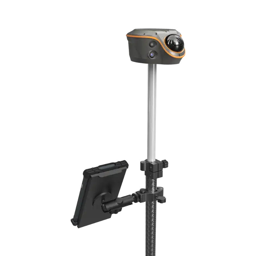
360-degree camera mounted on a pole with an attached adjustable tablet holder.
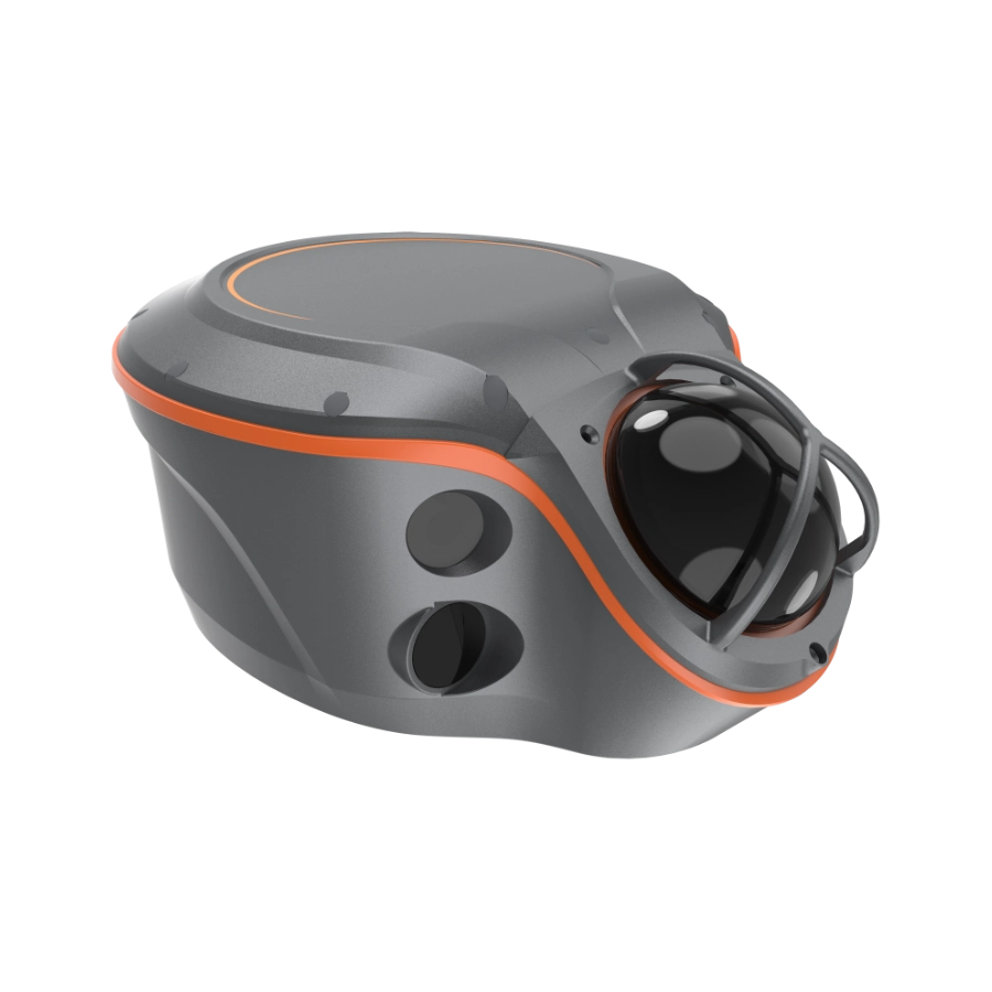
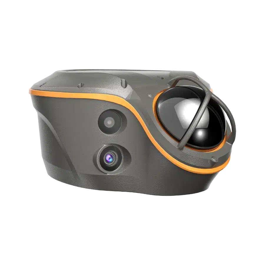
Gray and orange lidar sensor with a sleek design and prominent spherical lens.
Smart IoT device with orange accents, indicator lights, QR code, and connection ports.
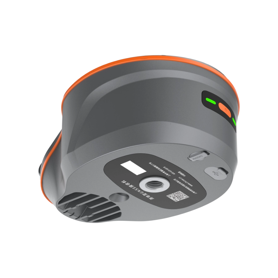
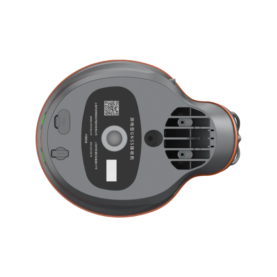
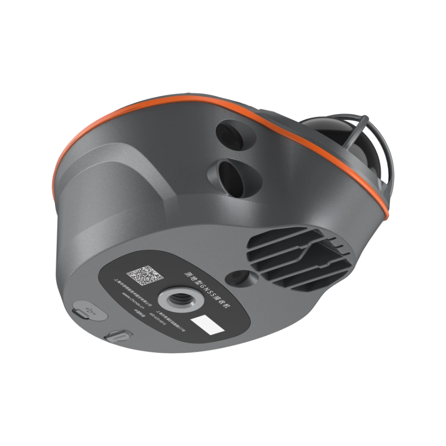
Compact gray robotic device with QR code, vents, and labeled controls, viewed from the bottom.
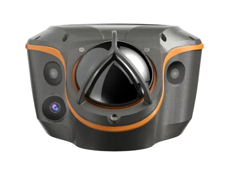
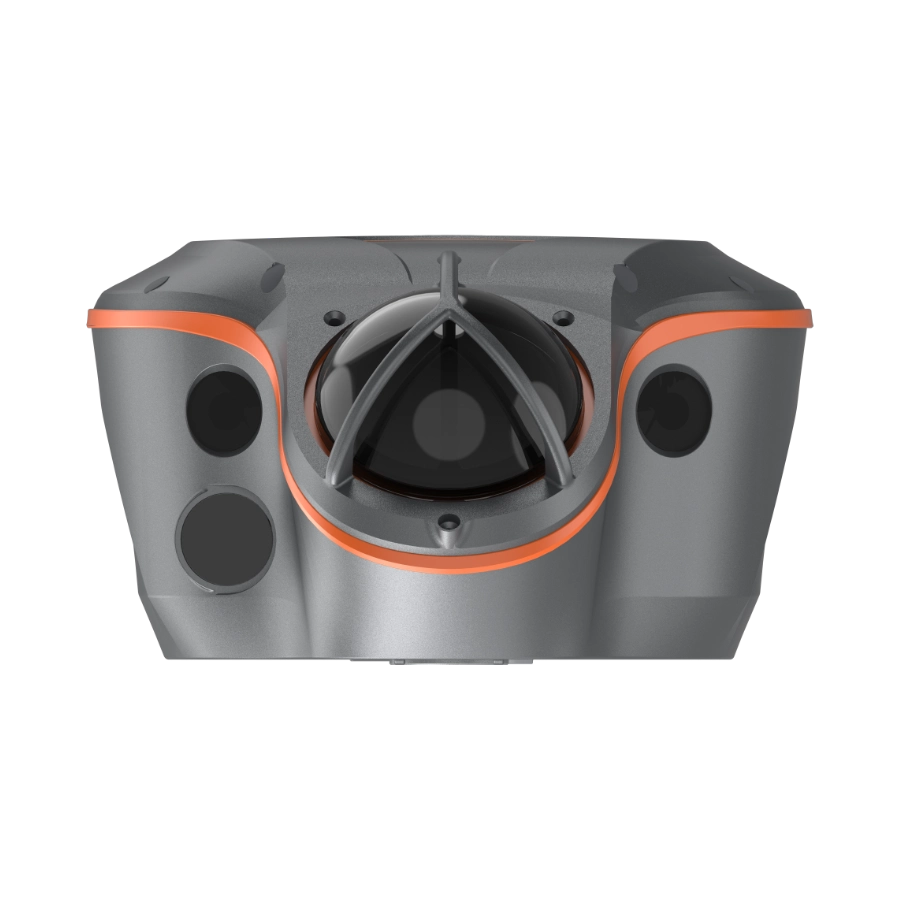
Gray and orange industrial sensor device with multiple lenses and a central dome structure.
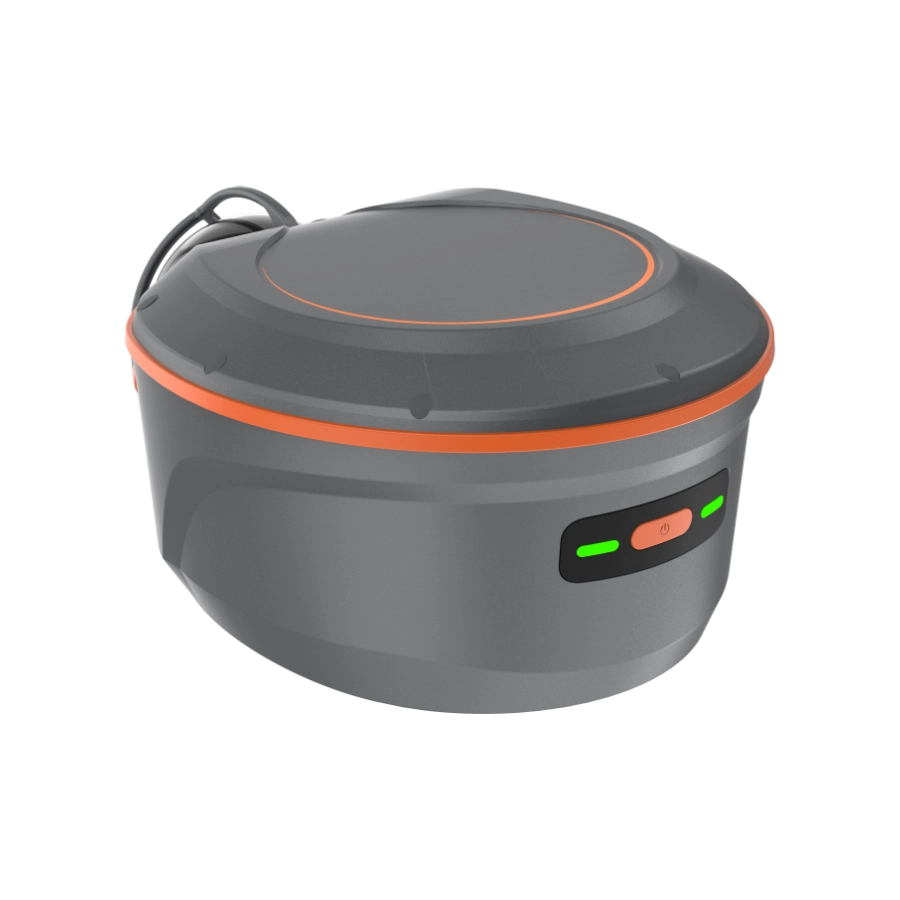
Compact gray and orange device with power button and LED indicators, designed for utility use.
Compact surveillance camera with dual lenses and protective casing, accented with orange trim.
Gray and orange industrial device with vents, ports, and QR code on the bottom surface.
Advanced lidar sensor with cameras and orange accents, designed for autonomous vehicle navigation.
360-degree camera mounted on a pole with an attached adjustable tablet holder.
Gray and orange lidar sensor with a sleek design and prominent spherical lens.
Smart IoT device with orange accents, indicator lights, QR code, and connection ports.
Compact gray robotic device with QR code, vents, and labeled controls, viewed from the bottom.
Gray and orange industrial sensor device with multiple lenses and a central dome structure.
Compact gray and orange device with power button and LED indicators, designed for utility use.
Compact surveillance camera with dual lenses and protective casing, accented with orange trim.
Gray and orange industrial device with vents, ports, and QR code on the bottom surface.
CHCNAV ViLi i100
การจัดส่ง:
การจัดส่ง, การขนส่งทางอากาศ, การขนส่งทางบก, การขนส่งทางทะเล
ข้อกำหนด:
รายละเอียดสินค้า
เอกสารแนบ
คำถามที่พบบ่อย
รายละเอียดที่สำคัญ
การจัดส่ง:การจัดส่ง, การขนส่งทางอากาศ, การขนส่งทางบก, การขนส่งทางทะเล
รายละเอียดบรรจุภัณฑ์:ตัวรับสัญญาณ Visual-LiDAR GNSS RTK ที่มีความแม่นยำสม่ำเสมอในอุปสรรค
แนะนำผลิตภัณฑ์

ViLi i100 คือเครื่องรับ GNSS RTK เรือธงของ CHCNAV ที่ออกแบบมาเพื่อประสิทธิภาพที่เชื่อถือได้ทั้งในสภาพแวดล้อมกลางแจ้งและในร่ม ผสมผสานการกรองสัญญาณดาวเทียมขั้นสูง, เอ็นจิ้นระบุตำแหน่ง SFix 2.0 ที่ได้รับการปรับปรุง และเทคโนโลยี Vi-LiDAR ในตัว เพื่อส่งมอบผลลัพธ์ที่แม่นยำในที่ที่หน่วย GNSS มาตรฐานมักล้มเหลว

ตัวรับสัญญาณยังคง ความแม่นยำระดับเซนติเมตรในพื้นที่เปิด, และสูงสุด ความแม่นยำ 5 ซม. ในถนนในเมืองที่หนาแน่น ป่า ไซต์ก่อสร้าง หรือภายในอาคาร โดยใช้ SFix 2.0 ตัวรับสัญญาณ Vi-LiDAR ในตัวช่วยให้สแกนได้อย่างรวดเร็ว สร้างกลุ่มจุด 3 มิติ และคำนวณงานดินด้วยความน่าเชื่อถือ 99.98% ในขณะที่กล้องคู่รองรับการจับจุดจากภาพถ่ายและการปักหมุดด้วย AR

i100 รองรับ เวิร์กโฟลว์ CORS, UHF และ PPP, พร้อม 4G, Wi-Fi และ NFC ในตัวเพื่อการเชื่อมต่อที่ยืดหยุ่น โครงสร้างที่ทนทานระดับ IP67/68, ทนทานต่อการตกหล่น 2 เมตร, และ เวลาใช้งาน 11–24 ชั่วโมง เพื่อให้มั่นใจว่าเหมาะสมกับสภาพการทำงานภาคสนามที่ต้องการในภาคส่วนการสำรวจ

คุณสมบัติหลัก

ความแม่นยำที่มั่นใจและสม่ำเสมอในสภาพที่มีสิ่งกีดขวาง
ปรับปรุงแล้วSFix 2.0 Engine


การคำนวณงานดินจากกลุ่มจุด 3 มิติ

การสำรวจแบบไร้สัมผัสด้วย Vi-LiDAR
ความแม่นยำ 5 ซม. แม้ในสภาพแวดล้อม GNSS ที่ท้าทาย เมื่อถูกต้องแล้ว จะถูกต้องเสมอ ความแม่นยำ 5 ซม. ภายในพื้นที่ที่ไม่มี GNSS 20 นาที เพียงสแกน กำหนดขอบเขต และรับผลลัพธ์ทันทีด้วยความแม่นยำ 99.98% ถ่ายภาพครั้งเดียวและดึงจุดสำรวจเป็นชุด
     
จุดเด่น
ViLi i100 คือเครื่องรับ GNSS RTK เรือธงของ CHCNAV ที่ผสมผสานการกรองสัญญาณดาวเทียมขั้นสูง, การระบุตำแหน่ง SFix 2.0 ที่ได้รับการปรับปรุง และเทคโนโลยี Vi-LiDAR ที่เป็นนวัตกรรมใหม่ ให้ความแม่นยำระดับเซนติเมตรที่เชื่อถือได้ แม้ในสภาพแวดล้อม GNSS ที่ท้าทาย ช่วยให้มืออาชีพสามารถขยายขอบเขตของการสำรวจ GNSS แบบดั้งเดิม


กรุณาทิ้งข้อมูลของคุณไว้และ
เราจะติดต่อคุณกลับ。
Wechat
WhatsApp