
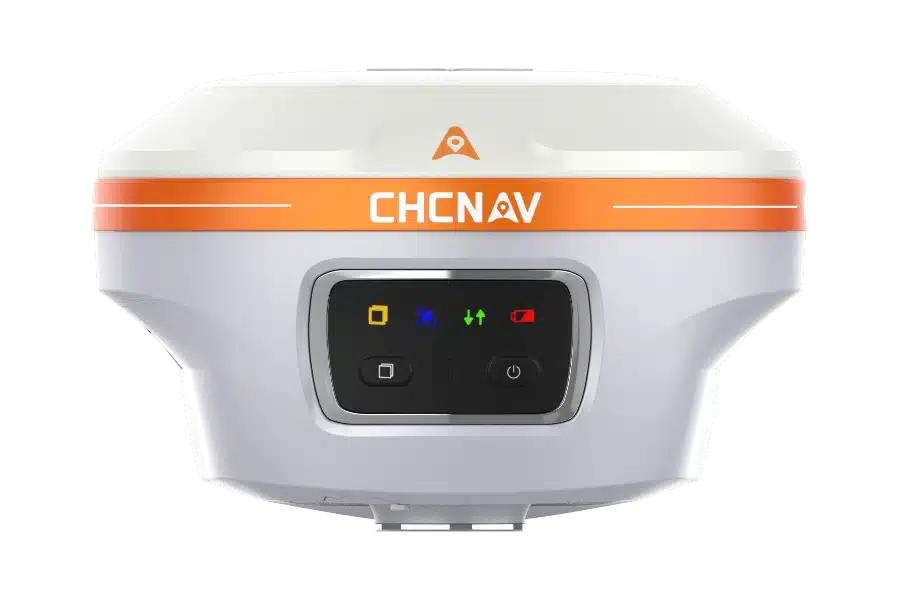
CHCNAV GNSS receiver with control panel and bright orange accent, designed for precision surveying.
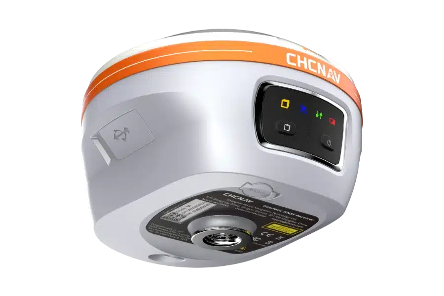
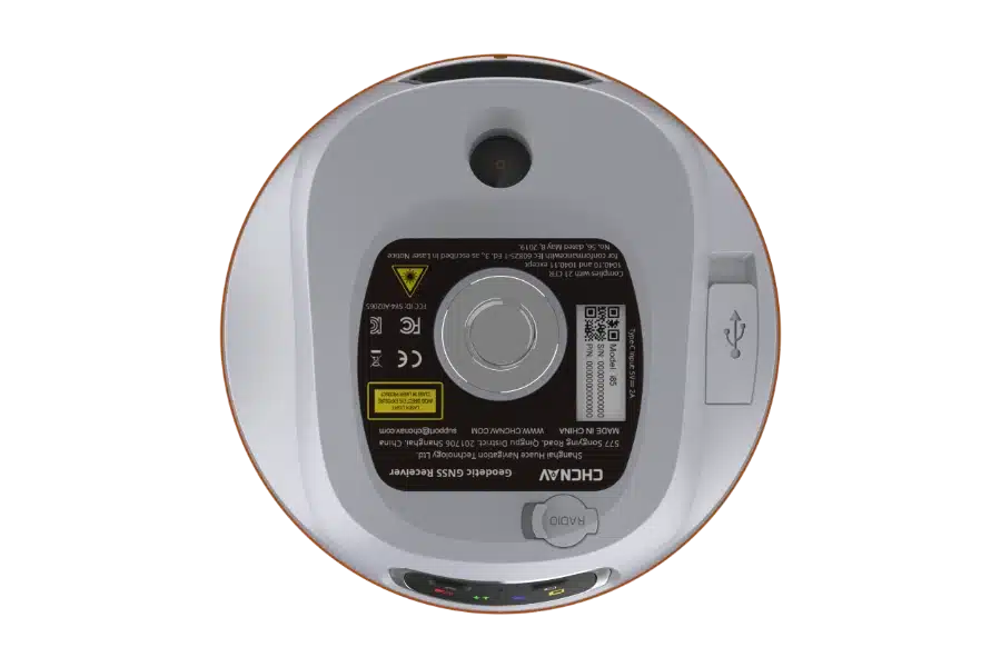
Circular GPS receiver device with USB port, labeled details, and indicators on a white shell.
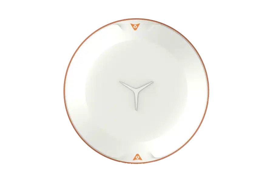
White disc-shaped object with orange trim and triangular markings on a black background.
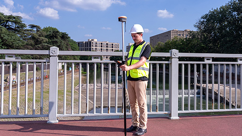
Surveyor using GPS equipment on a bridge, wearing a hard hat and high-visibility vest.
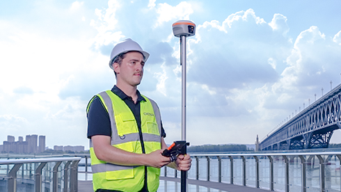
Surveyor in a safety vest and hard hat using GPS equipment on a bridge with a cityscape in the background.
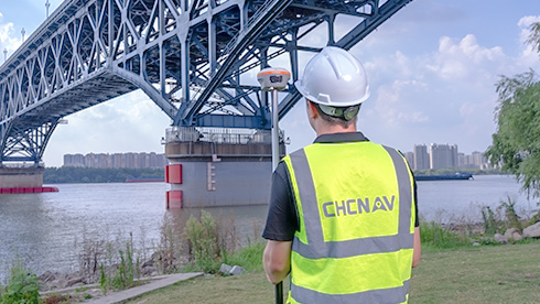
Surveyor in safety gear using equipment near a large bridge over a river with a cityscape in the background.
CHCNAV GNSS receiver with control panel and status indicators.
CHCNAV GNSS receiver with control panel and bright orange accent, designed for precision surveying.
Circular GPS receiver device with USB port, labeled details, and indicators on a white shell.
White disc-shaped object with orange trim and triangular markings on a black background.
Surveyor using GPS equipment on a bridge, wearing a hard hat and high-visibility vest.
Surveyor in a safety vest and hard hat using GPS equipment on a bridge with a cityscape in the background.
Surveyor in safety gear using equipment near a large bridge over a river with a cityscape in the background.
CHCNAV i85 ポケットサイズのレーザーIMU-RTK GNSS受信機
製品情報
添付ファイル
よくある質問
ディテール
配送方法:宅配便、空輸、陸運、海運
製品ディテール
主な特徴
 
拡張現実
レーザー測量
Ultra-IMU
簡単なレーザーエイミング
視野角91°の8MP + 2MPカメラ。
レーザーレンジファインダーは、手の届きにくいポイントから測量グレードの3D座標をキャプチャします。
高精度とチルト補正を実現する次世代IMU。
グリーンレーザー+ 8MPカメラのエッジコンピューティング処理により、レーザーエイミング効率が50%向上します。


製品説明

i85レーザーIMUGNSSは、わずか800gのコンパクトな受信機で、要求の厳しいフィールドワークのために特別に設計されています。1,408チャンネルGNSSチップとCHCNAVのiStar2.0エンジンを搭載し、最も困難な環境でも信頼性の高いRTKパフォーマンスを保証します。

高度な電離層モデリングにより、太陽活動が活発な期間中の測位信頼性を保護し、最も重要な時期に精度を一貫させます。

統合されたレーザーモジュールにより、障害物のある場所や手の届きにくい場所でも、迅速かつ正確な3Dポイントキャプチャが可能です。AUTO-IMUテクノロジーは手動センタリングの必要性をなくし、チルト補正付きのインスタント測定を実現します。高速SoCプロセッサと次世代IMUと組み合わせることで、i85はレーザーベースの測量効率を大幅に向上させます。

最大20時間のバッテリー寿命と、ARナビゲーションや視覚的な遣り方などの実用的な機能を備えたi85は、あらゆる経験レベルの測量士に生産性と使いやすさを提供するように設計されています。

ユースケース
 
地形測量
鉱業測量
ユーティリティマッピング
林業測量

i85 Pocket Laser RTKは、要求の厳しい環境での高精度測量のために設計された超小型・軽量ソリューションです。GNSS、IMU、デュアルカメラ、レーザーモジュールを統合し、直感的なCADとARベースの視覚ガイダンスにより遣り方ワークフローを最大40%、レーザー測定により測定ワークフローを最大50%向上させます。

情報を残してください。
こちらからご連絡いたします。
Wechat
WhatsApp